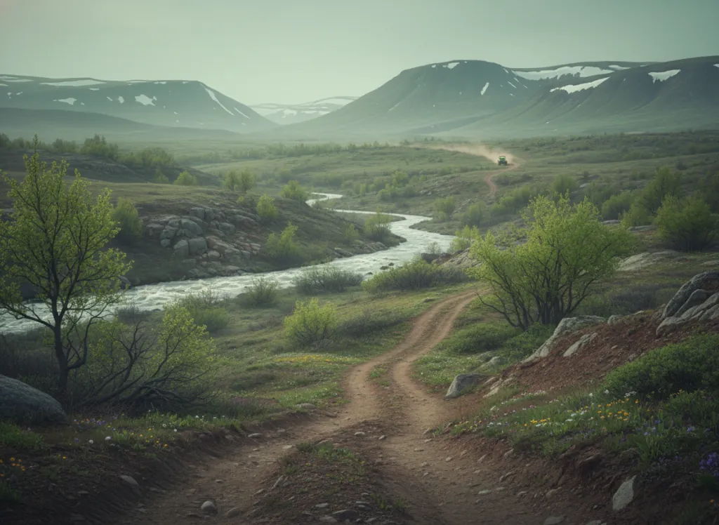
The Talladega National Forest encompasses 392,000 acres of the Alabama Piedmont and Ridge-and-Valley province in Cleburne, Clay, Talladega, Shelby, Coosa, Randolph, Chilton, and Tuscaloosa counties, the largest national forest in Alabama, occupying the folded Appalachian mountain terrain northeast of Birmingham and the piedmont plateau country to the south and west. The OHV trail system operates on designated routes through the forest's Talladega, Shoal Creek, and Oakmulgee Ranger Districts, with the Talladega Mountains in Cleburne and Clay counties providing the most elevated and technically demanding riding terrain. The Talladega Mountains (Cheaha Mountain (2,413 ft, the highest point in Alabama) and the surrounding Blue Ridge foothills), represent the southwesternmost extension of the Blue Ridge physiographic province in the eastern United States, and the OHV routes in the Shoal Creek and Talladega districts traverse the ridge-and-valley terrain of this southernmost Appalachian country on trails through the mixed oak-pine forest that covers the Alabama hill country. Cheaha State Park, adjacent to the national forest at the summit of Cheaha Mountain, provides camping and facilities infrastructure for OHV riders staging in the eastern Talladega. The Oakmulgee District in the forest's western reach occupies a completely different landscape: the low-relief, sand-ridge Coastal Plain terrain of Tuscaloosa and Bibb counties, with the Oakmulgee Creek bottomland hardwood corridor and the sandstone-cap ridge terrain of the Alabama Piedmont transition zone. The Talladega serves the Birmingham metropolitan area (1.1 million, approximately one hour west) as the closest significant national forest OHV terrain. Alabama OHV registration required. Shoal Creek Ranger District at Heflin (256-463-2272) manages current mountain district trail access.
Hours
Open year-round on designated OHV routes. No day-use fee on National Forest land. Alabama OHV registration required on designated routes.
Phone
256-362-2909Trip openings, seasonal updates, and the occasional deal, straight to your inbox.
FAQ
Everything you need to know before you get started.
Have a question, or ready to book? Reach out and we’ll get right back to you.